簽到天數: 1650 天 [LV.Master]伴壇終老
|
 老農民版夜神月|2020-11-18 01:42
|
顯示全部樓層
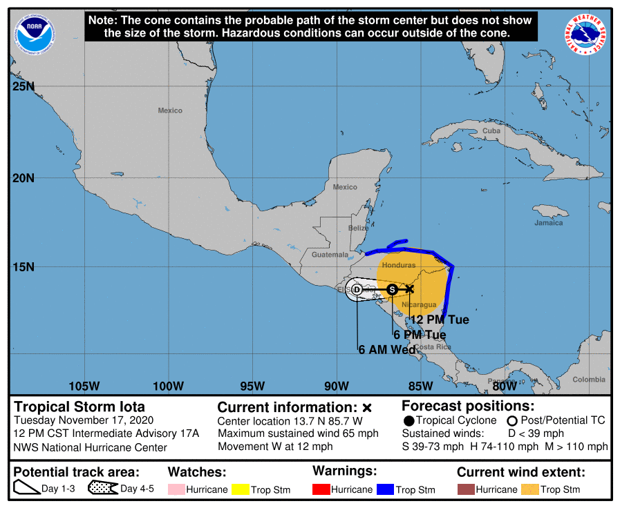
深入陸地,強度持續迅速減弱,15Z僅剩下65KT
000
WTNT41 KNHC 171441
TCDAT1
Hurricane Iota Discussion Number 17
NWS National Hurricane Center Miami FL AL312020
900 AM CST Tue Nov 17 2020
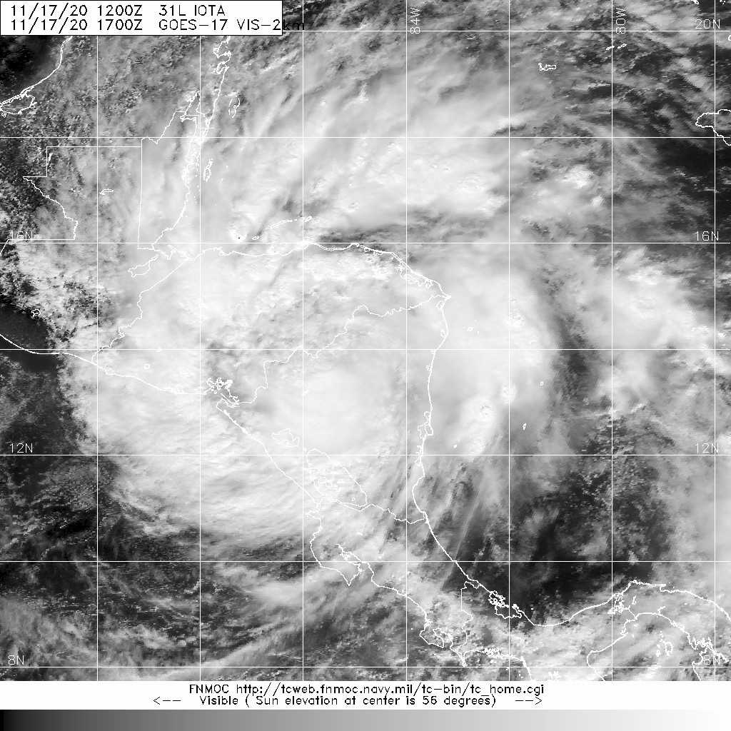
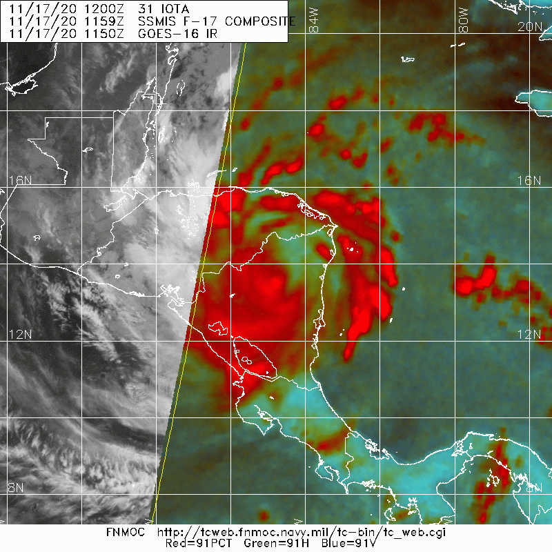
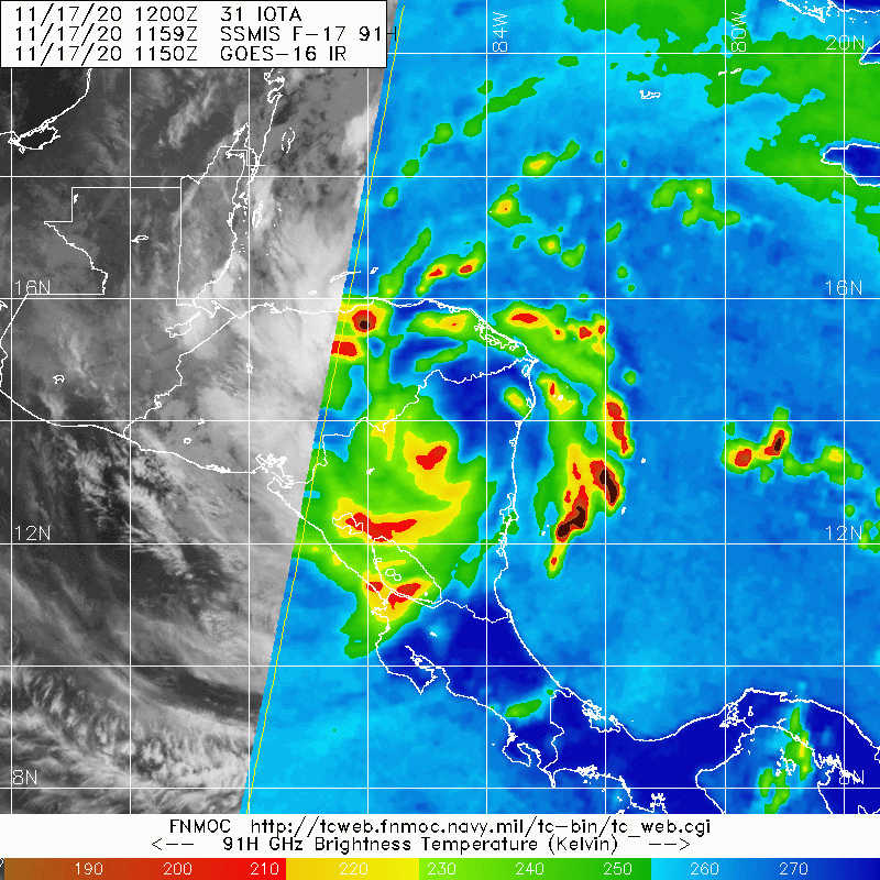
Satellite images indicate that Iota continues to weaken over land
with warming cloud tops near the center. It still has a small core,
however, so the initial wind speed will be lowered to 65 kt on this
advisory, in line with the Decay-SHIPS model. Further weakening is
expected today as Iota moves westward at about 10 kt, with Iota
becoming a tropical storm this afternoon, and a tropical depression
tonight. Iota should degenerate into a remnant low near El Salvador
by tomorrow due to the rugged terrain of central America.
While the winds of Iota are weakening, there are still life-
threatening hazards ongoing for central America, including flash
flooding and mud slides, which could result in potentially
catastrophic effects, especially when compounded upon Hurricane
Eta's destruction from a couple of weeks ago.
Key Messages:
1. Life-threatening flash flooding and river flooding is expected
through Thursday across portions of Central America due to heavy
rainfall from Iota. Flooding and mudslides across portions of
Honduras, Nicaragua and Guatemala could be exacerbated by Hurricane
Etas recent effects there, resulting in significant to potentially
catastrophic impacts.
2. Strong winds, primarily close to the center of Iota and along
the coasts of Nicaragua and Honduras, are still expected for the
next several hours.
FORECAST POSITIONS AND MAX WINDS
INIT 17/1500Z 13.7N 85.2W 65 KT 75 MPH...INLAND
12H 18/0000Z 13.7N 86.7W 35 KT 40 MPH...INLAND
24H 18/1200Z 13.7N 88.8W 25 KT 30 MPH...POST-TROP/REMNT LOW
36H 19/0000Z...DISSIPATED
$$
Forecaster Blake 


|
|