簽到天數: 1650 天 [LV.Master]伴壇終老
|
 老農民版夜神月|2020-11-13 16:47
|
顯示全部樓層
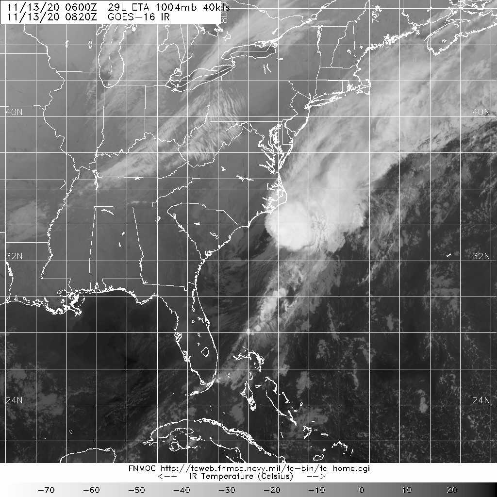
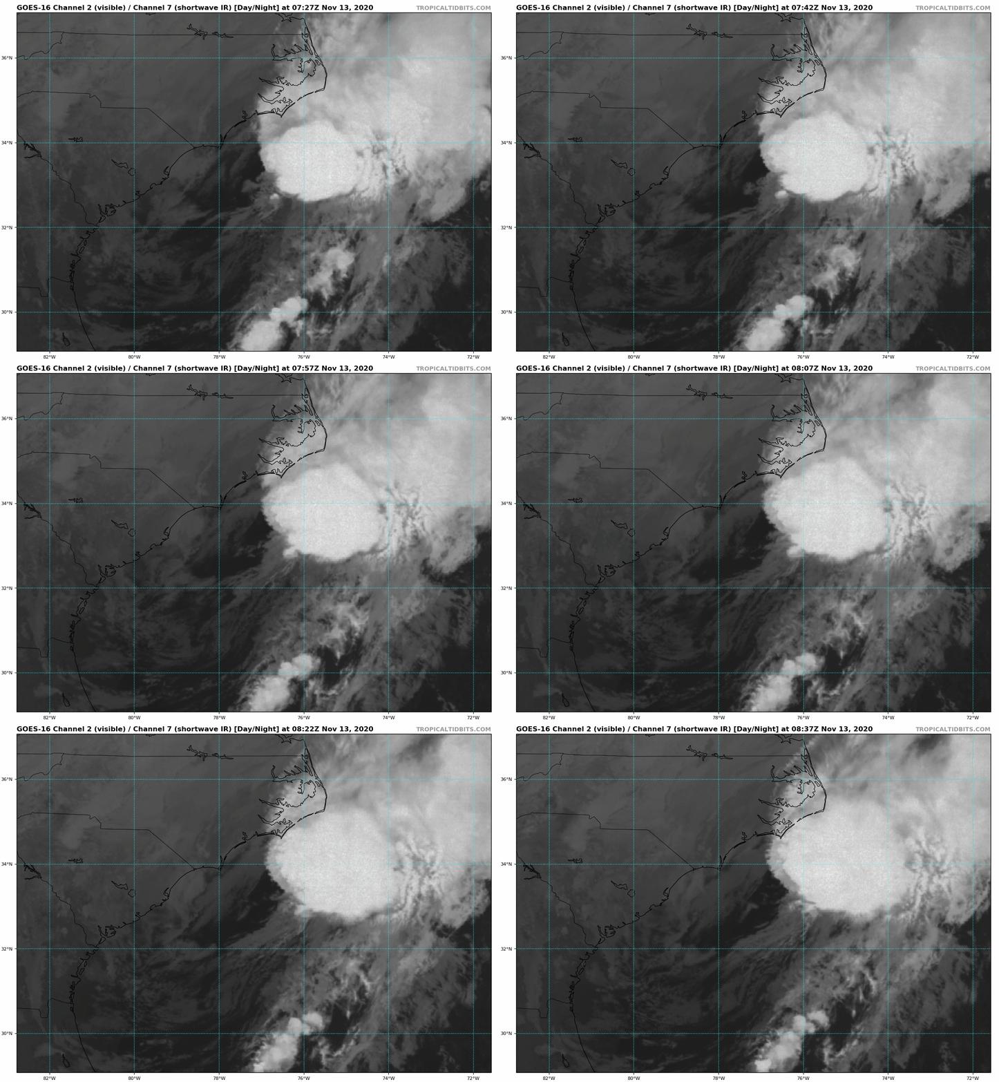
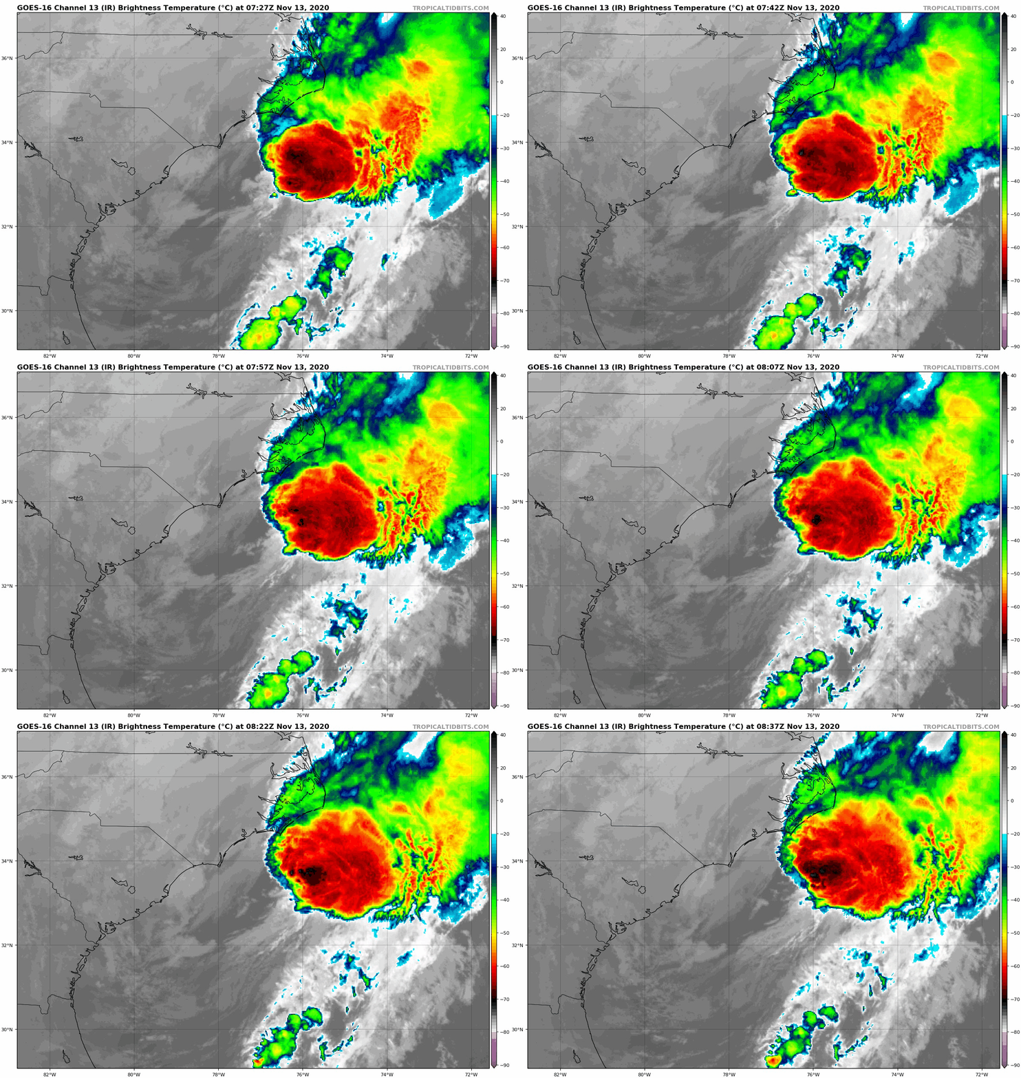
NHC09Z判定已轉化為溫帶氣旋
AL, 29, 2020111306, , BEST, 0, 327N, 780W, 40, 1004, TS 000
WTNT44 KNHC 130834
TCDAT4
Post-Tropical Cyclone Eta Discussion Number 52
NWS National Hurricane Center Miami FL AL292020
400 AM EST Fri Nov 13 2020
While the cyclone is still generating a cluster of strong
convection to the northeast of the center, satellite imagery,
surface observations and scatterometer data indicate that Eta has
merged with a baroclinic zone and become an extratropical cyclone
off the southeastern coast of the United States. The scatterometer
data showed vectors of 40-50 kt along a front or convergence zone
northeast of the center, but these vectors were in the strong
convective region and their reliability is uncertain. This, the
initial intensity is held at a possibly conservative 40 kt. Eta is
forecast to strengthen as a baroclinic low until the system is
absorbed by another low pressure area in about 48 h.
The initial motion is 060/18. The post-tropical cyclone cyclone
should continue this general motion with an increase in forward
speed until it is absorbed.
This is the last advisory issued by the National Hurricane Center
on Eta. Additional information on this system can be found in
High Seas Forecasts issued by the National Weather Service, under
AWIPS header NFDHSFAT1, WMO header FZNT01 KWBC, and online at
ocean.weather.gov/shtml/NFDHSFAT1.php
FORECAST POSITIONS AND MAX WINDS
INIT 13/0900Z 33.3N 76.8W 40 KT 45 MPH...POST-TROP/EXTRATROP
12H 13/1800Z 35.0N 73.1W 40 KT 45 MPH...POST-TROP/EXTRATROP
24H 14/0600Z 37.9N 66.1W 45 KT 50 MPH...POST-TROP/EXTRATROP
36H 14/1800Z 41.1N 57.8W 45 KT 50 MPH...POST-TROP/EXTRATROP
48H 15/0600Z...ABSORBED BY AN EXTRATROPICAL LOW
$$
Forecaster Beven 


|
|