|
|
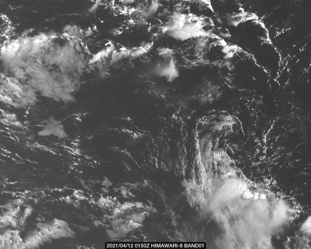
BoM展望不再提到此系統
IDW10800
Updated Tropical Cyclone Outlook for the Western Region
Issued at 6:15 am WST on Monday 12 April 2021
for the period until midnight WST Wednesday 14 April 2021.
Existing Cyclones in the Western Region:
Nil.
Potential Cyclones:
At 0500 AWST Monday 12 April Ex-Tropical Cyclone Seroja was approximately 35 kilometres southeast of Merredin and travelling southeast at 60 kilometres per hour. It was analysed to have lost its deep, tropical structure and was subsequently declassified as a tropical cyclone. Damaging wind gusts and a period of heavy rainfall could still be experienced over southern parts of WA today and a Severe Weather Warning is current for southeastern parts of the South West Land Division, southern Goldfields and western Eucla. Refer to http://www.bom.gov.au/wa/warnings/ for latest details.
There are no significant tropical systems expected in the region for at least the next three days.
Likelihood of a tropical cyclone in the Western Region on:
Tuesday:Very Low
Wednesday:Very Low 
|
|