簽到天數: 1650 天 [LV.Master]伴壇終老
|
 老農民版夜神月|2020-8-16 23:19
|
顯示全部樓層
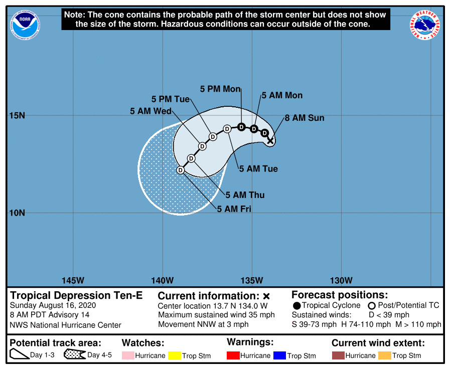
NHC新報已轉而不再看好能長期發展進入中太平洋,預測48H內即將消亡
000
WTPZ45 KNHC 161446
TCDEP5
Tropical Depression Ten-E Discussion Number 14
NWS National Hurricane Center Miami FL EP102020
800 AM PDT Sun Aug 16 2020
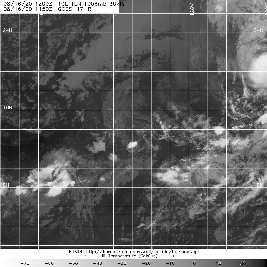
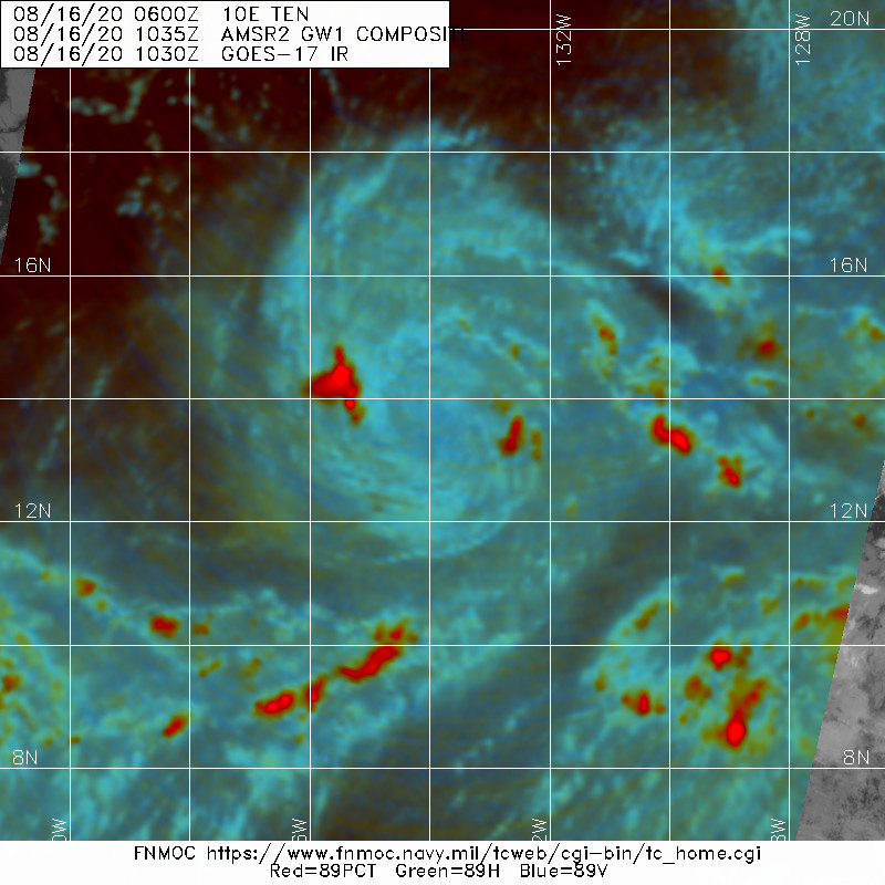
At the moment the depression is nearly devoid of convection, except
for a very small weakening burst over 100 n mi from the center. In
fact, there has not been any deep convection within 50 n mi of the
center since yesterday, and this convection has been sporadic. The
available Dvorak T-numbers only support 25 kt. However, given that
an earlier ASCAT overpass had a few vectors with higher values, the
initial intensity remains 30 kt. The depression is barely fitting
the definition of a tropical cyclone due to the lack of persistent
organized deep convection. If the system is not able to generate
sustained organized convection, it could become a post-tropical
remnant low at any time. Simulated satellite imagery from the global
models suggest this lack of persistent convection may continue, and
therefore the official forecast no longer keeps the system a
tropical cyclone through 5 days. The official intensity forecast is
generally in line with the intensity consensus aids throughout the 5
day time period, but makes the cyclone post-tropical in a couple of
days. It should be noted that the timing of the system becoming
post-tropical is highly uncertain and could happen much sooner or
later than indicated.
The cyclone is moving slowly north-northwestward at 3 kt. A weak
low- to -mid level ridge is forecast to build north of the cyclone
over the next couple of days. This should result in a slow motion
while the depression turns to the northwest, then west. By midweek,
a more west-southwestward motion is anticipated. The latest NHC
forecast is is in between the previous one and the track consensus
aids.
FORECAST POSITIONS AND MAX WINDS
INIT 16/1500Z 13.7N 134.0W 30 KT 35 MPH
12H 17/0000Z 14.1N 134.3W 30 KT 35 MPH
24H 17/1200Z 14.3N 134.9W 30 KT 35 MPH
36H 18/0000Z 14.4N 135.6W 30 KT 35 MPH
48H 18/1200Z 14.3N 136.4W 30 KT 35 MPH...POST-TROP/REMNT LOW
60H 19/0000Z 13.9N 137.2W 30 KT 35 MPH...POST-TROP/REMNT LOW
72H 19/1200Z 13.4N 137.8W 30 KT 35 MPH...POST-TROP/REMNT LOW
96H 20/1200Z 12.8N 138.4W 30 KT 35 MPH...POST-TROP/REMNT LOW
120H 21/1200Z 12.2N 139.0W 30 KT 35 MPH...POST-TROP/REMNT LOW
$$
Forecaster Latto


|
|