|
|
 霧峰追風者|2018-9-15 03:28
|
顯示全部樓層
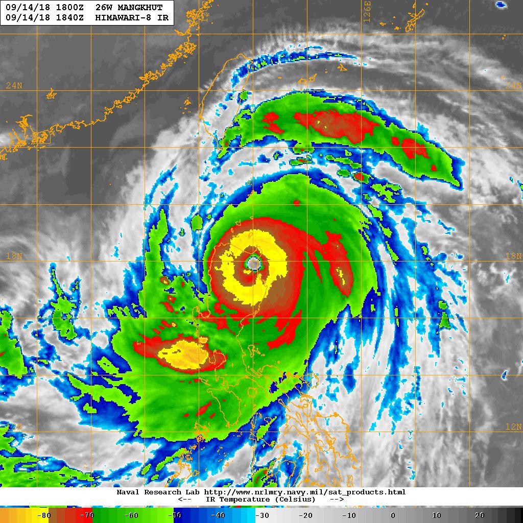
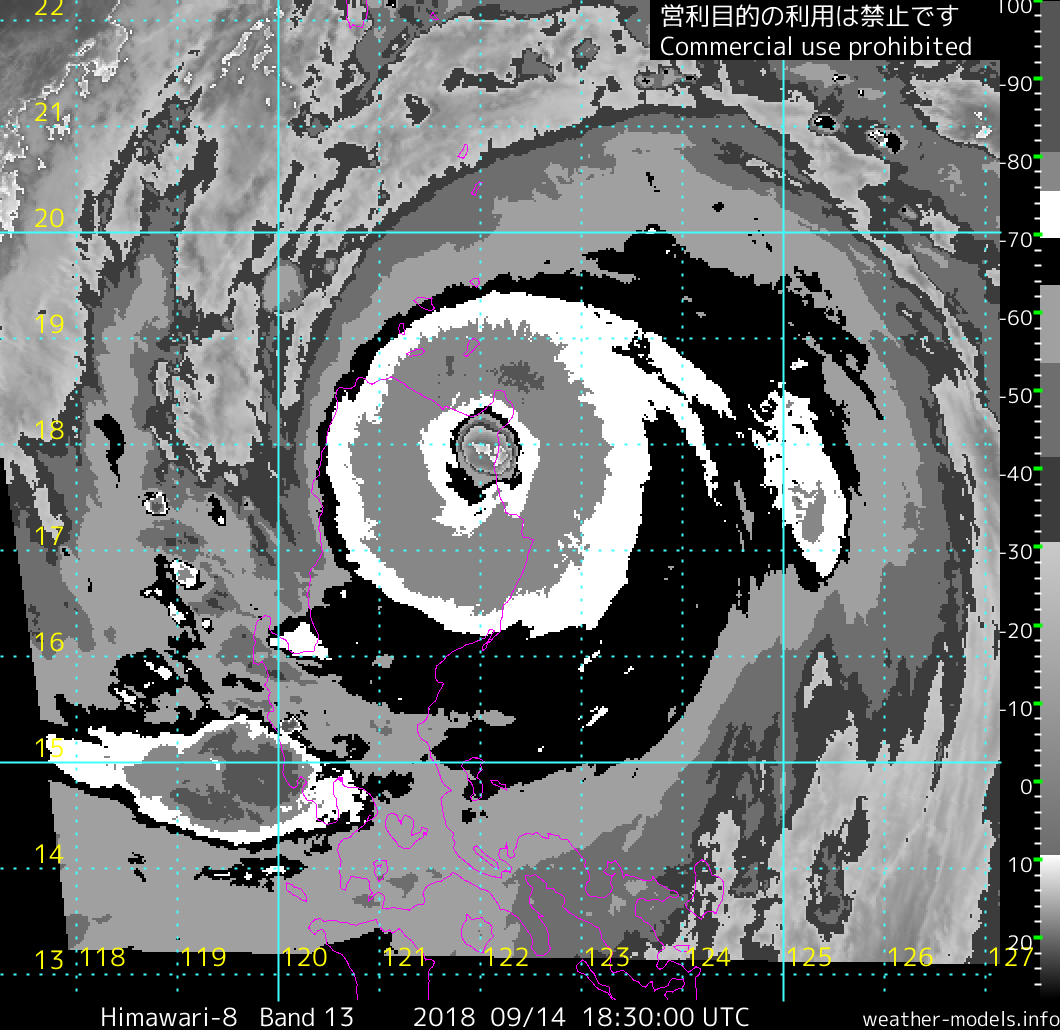
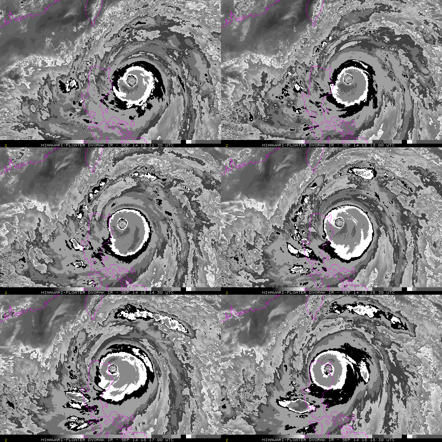
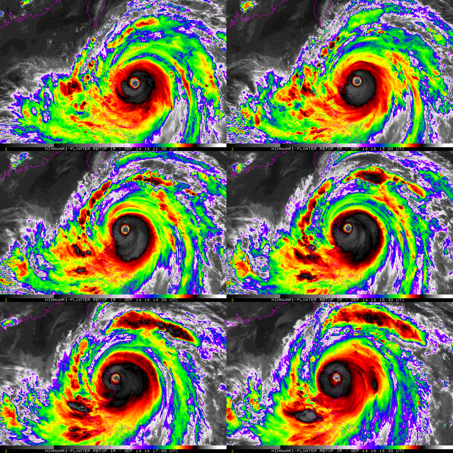
菲律賓在01:40前後判定登陸,中心登陸後,強度暫時還沒減弱。Typhoon"Ompong"
Tropical Cyclone: WARNING
Issued at 02:00 am, 15 September 2018
(Valid for broadcast until the next bulletin to be issued at 5:00 am today.)
TYPHOON "OMPONG" HAS MADE LANDFALL IN BAGGAO, CAGAYAN.
TY "OMPONG" has made landfall in Baggao, Cagayan at 1:40 AM (15 September).
The Southwest Monsoon (Habagat) enhanced by the typhoon will bring gusty winds with occasional moderate to heavy rains over Visayas, while scattered light to moderate to at times heavy rains over Palawan, Zamboanga Peninsula, Northern Mindanao and Caraga. Residents in these areas, especially those living near river channels, in low-lying areas and in mountainous areas, are advised to take appropriate actions against possible flooding and landslides, coordinate with local disaster risk reduction and management offices, and to continue monitoring for updates.
Possible Storm surge height in surge prone areas: up to 6 meters in Cagayan and Ilocos Norte; up to 3 meters in Isabela; up to 2 meters in Ilocos Sur, La Union and Pangasinan.
Fisherfolks and those with small seacrafts are advised not to venture out over the seaboards of areas with TCWS and the seaboards of Visayas and of Mindanao. TXPQ23 KNES 141506
TCSWNP
A. 26W (MANGKHUT)
B. 14/1430Z
C. 17.7N
D. 123.4E
E. ONE/HIMAWARI-8
F. T7.0/7.0/D0.5/24HRS
G. IR/EIR
H. REMARKS...THIS INTENSITY ESTIMATE WAS DERIVED USING 4 KM IR DATA.
WMG EYE IS EMBEDDED IN W AND SURROUNDED BY CMG RESULTING IN A DT OF 7.0
WHICH INCLUDES AN EYE ADJUSTMENT OF 1.0. MET AND PT AGREE. FT IS BASED
ON DT.
I. ADDL POSITIONS
NIL
...KIBLER 


|
|