簽到天數: 4203 天 [LV.Master]伴壇終老
|
基本資料
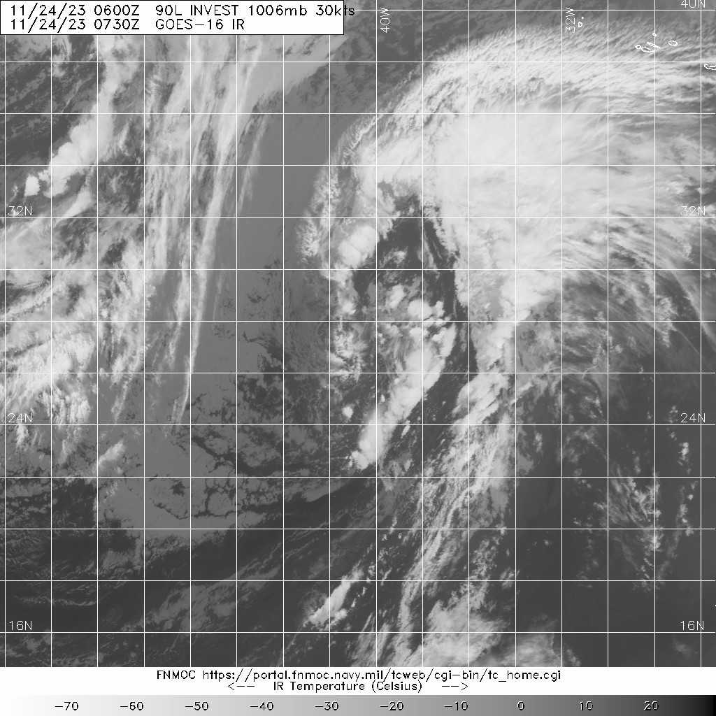
編號 :90 L
擾動編號日期 :2023 年 11 月 24 日 02 時
撤編日期 :2023 年 00 月 00 日 00 時
AL, 90, 2023112318, , BEST, 0, 264N, 424W, 35, 1005, EX, 34, NEQ


Tropical Weather Outlook Text Tropical Weather Discussion
ZCZC MIATWOAT ALL
TTAA00 KNHC DDHHMM
Tropical Weather Outlook
NWS National Hurricane Center Miami FL
100 AM EST Fri Nov 24 2023
For the North Atlantic...Caribbean Sea and the Gulf of Mexico:
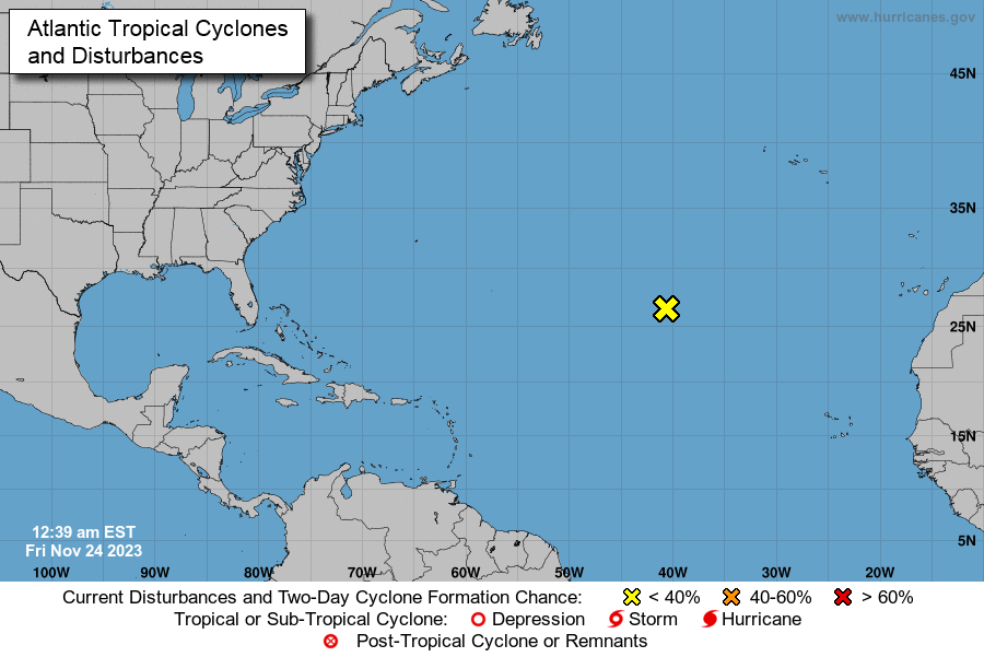
1. Central Subtropical Atlantic (AL90):
A non-tropical area of low pressure located over the central
subtropical Atlantic is producing disorganized shower and
thunderstorm activity, and the associated winds have decreased
below gale force. This system could acquire some subtropical or
tropical characteristics during the next day or two while it moves
northeastward at 15 to 20 mph. The chance for subtropical or
tropical development is likely to end by Sunday as the low moves
over much colder waters.
* Formation chance through 48 hours...low...30 percent.
* Formation chance through 7 days...low...30 percent.
Forecaster Berg
|
|