簽到天數: 2141 天 [LV.Master]伴壇終老
|
本帖最後由 周子堯@FB 於 2020-8-2 10:22 編輯
基本資料
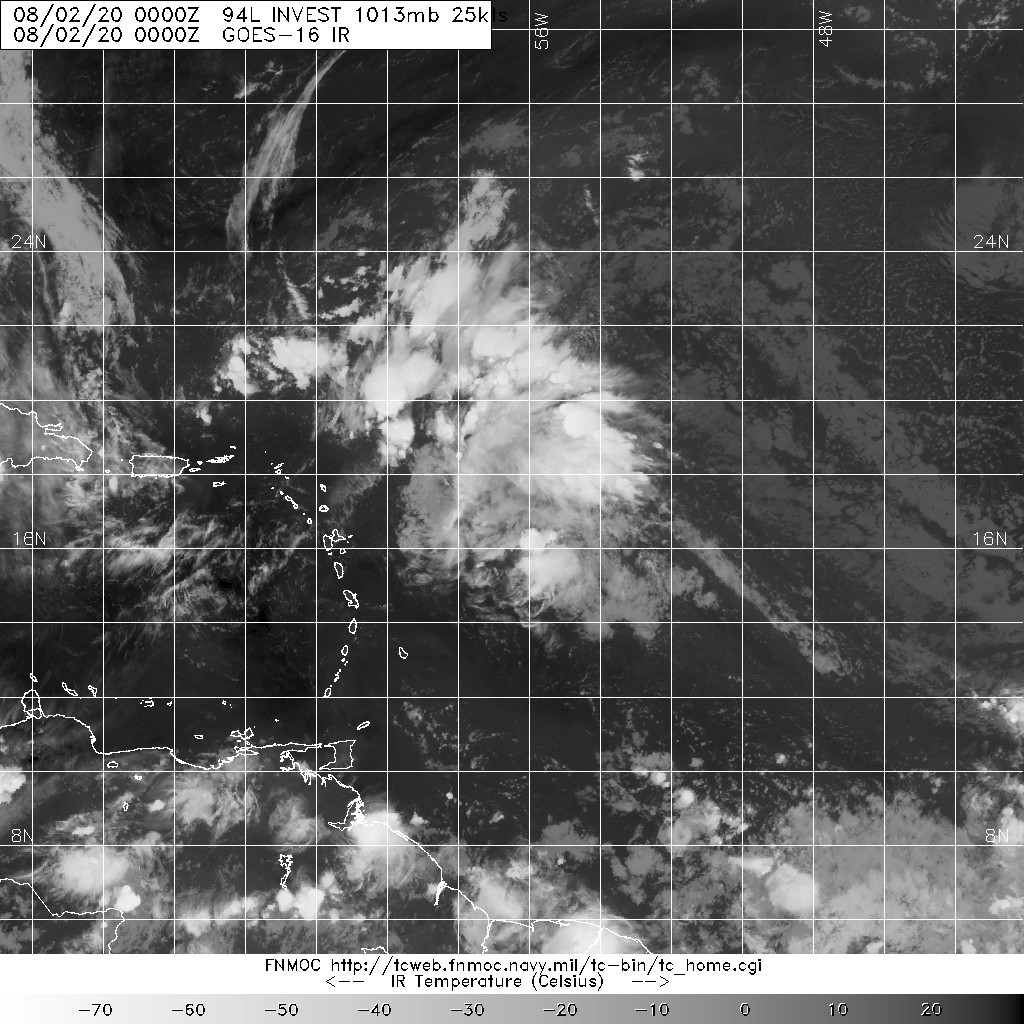
編號 :94 L
擾動編號日期:2020 年 08 月 02 日 08 時
撤編日期 :2020 年 00 月 00 日 00 時
94L INVEST 200802 0000 17.0N 56.0W ATL 20 1014
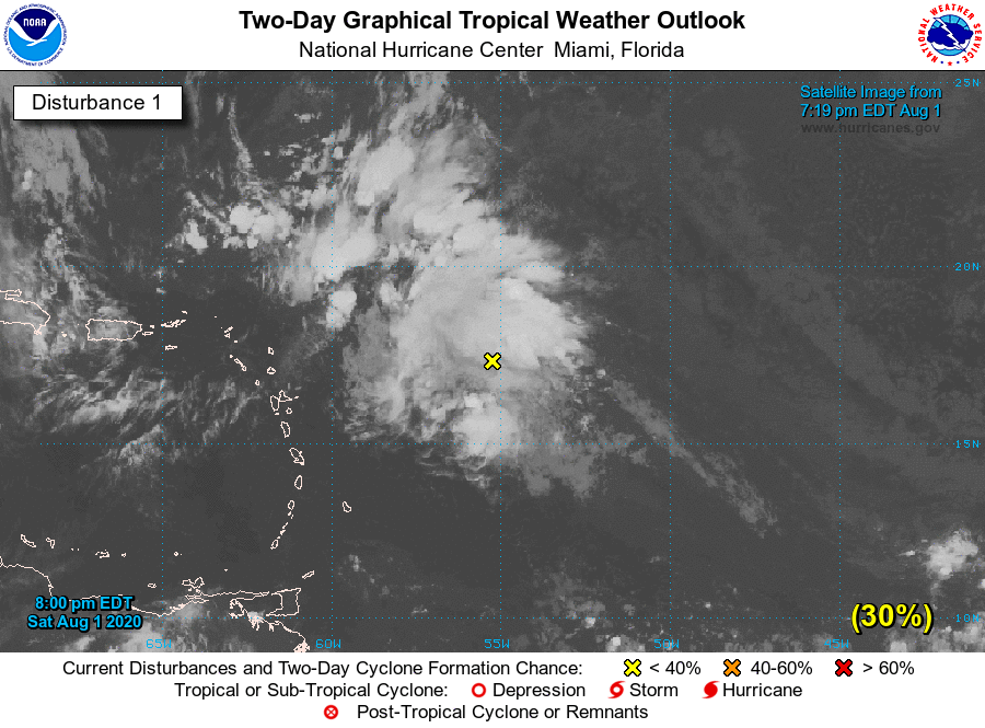
 NHC:30%
1. Showers and thunderstorms associated with a tropical wave located a
a few hundred miles east of the Leeward Islands have slowly become
better organized throughout the day. Although the disturbance does
not appear to be very well defined at the surface at this time,
environmental conditions are forecast to be conducive for some
additional development for the next few days, and a tropical
depression could form early next week. This system is forecast to
turn northwestward and then northward over the western Atlantic,
passing north of the Leeward Islands on Monday and Tuesday.
* Formation chance through 48 hours...low...30 percent.
* Formation chance through 5 days...medium...60 percent.

|
評分
-
查看全部評分
|