|
|
 霧峰追風者|2017-9-16 00:03
|
顯示全部樓層
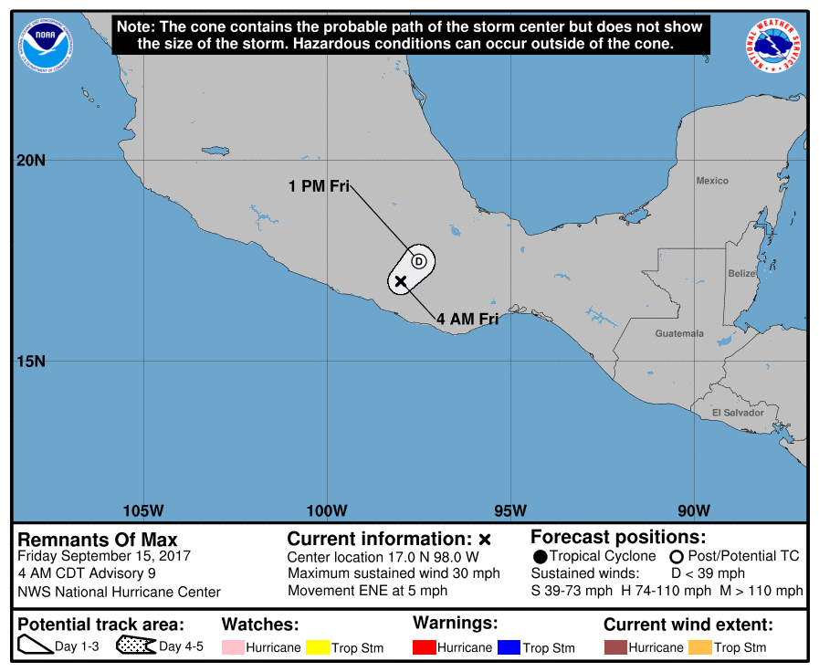
NHC最終報,快速消散…
000
WTPZ41 KNHC 150836
TCDEP1
Remnants Of Max Discussion Number 9
NWS National Hurricane Center Miami FL EP162017
400 AM CDT Fri Sep 15 2017
The high terrain of Mexico has disrupted Max's circulation and the
system has degenerated into a broad area of low pressure. Surface
observations indicate that winds associated with the low are
barely 25 kt. The remnants of Max will probably continue moving
slowly eastward until dissipation later today.
The remnants of Max are still expected to produce heavy rain in
the states of Guerrero and Oaxaca.
This is the last advisory issued by the National Hurricane Center
on Max.
FORECAST POSITIONS AND MAX WINDS
INIT 15/0900Z 17.0N 98.0W 25 KT 30 MPH...REMNANTS OF MAX
12H 15/1800Z 17.5N 97.5W 20 KT 25 MPH...REMNANTS OF MAX
24H 16/0600Z...DISSIPATED
$$
Forecaster Avila

|
|