簽到天數: 3291 天 [LV.Master]伴壇終老
|
 t02436|2017-8-21 17:01
|
顯示全部樓層
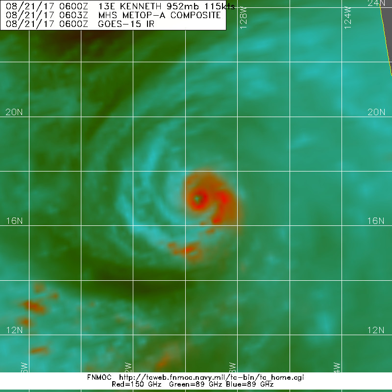
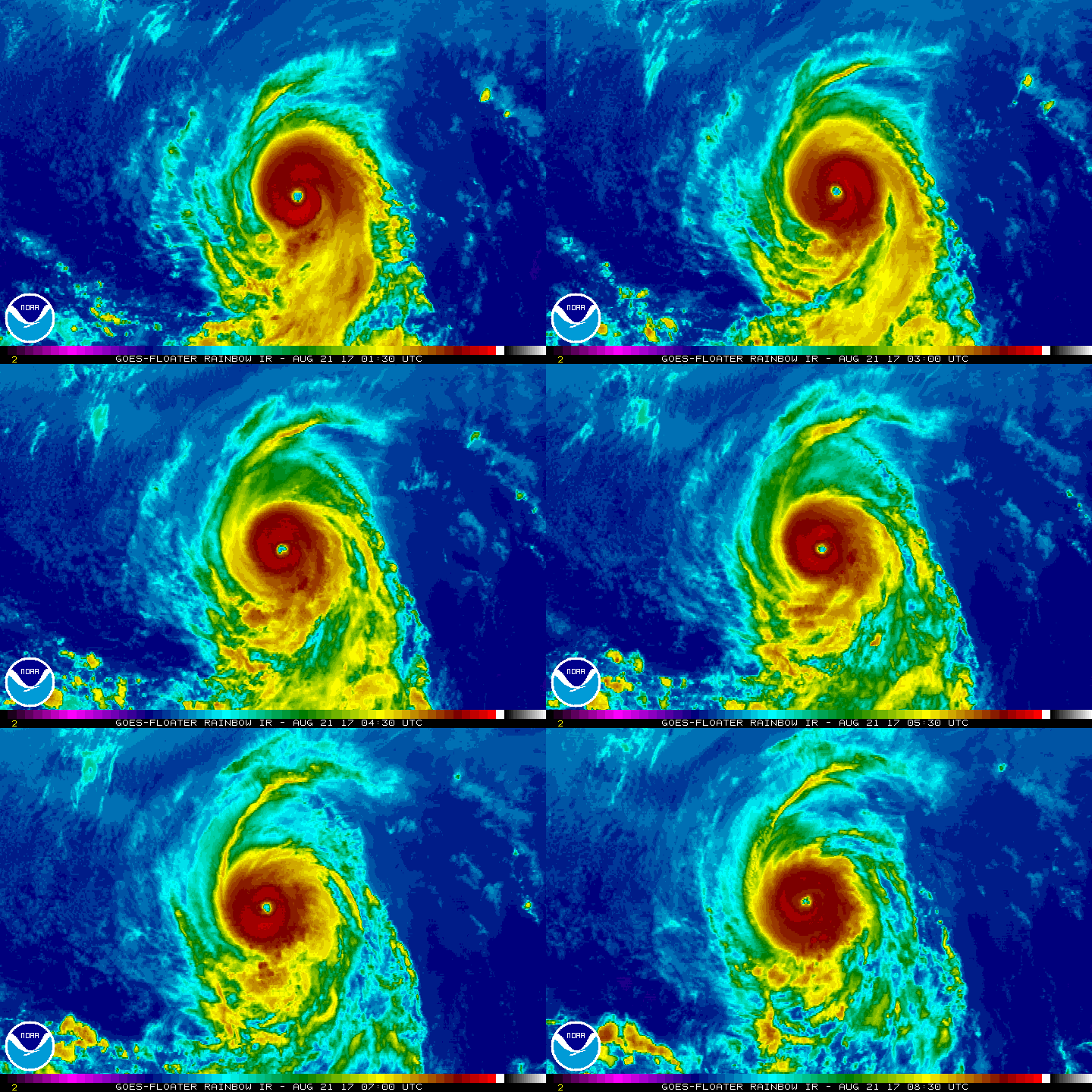
09Z衝上C4,預計將以115節封頂。
000
WTPZ43 KNHC 210846
TCDEP3
Hurricane Kenneth Discussion Number 12
NWS National Hurricane Center Miami FL EP132017
200 AM PDT Mon Aug 21 2017
Kenneth has continued to rapidly intensify since the previous
advisory. The satellite presentation of the hurricane is quite
impressive, as a 15-nmi wide eye has become better defined while
the cloud tops of the surrounding ring of convection has cooled.
Dvorak intensity estimates range from T5.5 (102 kt) from SAB,
T6.0 (115 kt) from TAFB, to T6.3 (122 kt) from UW/CIMSS. Using a
blend of these estimates, the initial wind speed has been increased
to 115 kt, making Kenneth a category 4 hurricane on the
Saffir-Simpson Hurricane Wind Scale.
The hurricane is expected to peak in intensity very soon as it will
be moving over cooler waters and into a more stable air mass
later today. After that time, cooler sea surface temperatures and
less favorable thermodynamic conditions should cause steady
weakening. In 3 to 4 days, increasing southwesterly shear from an
upper-level trough along 140W and sub 23C SSTs should cause
Kenneth's deep convection to dissipate, resulting in the system
becoming a post-tropical cyclone. The NHC intensity forecast is
slightly higher than the previous one at 12 and 24 h due to the
higher initial intensity. After that time, the forecast is fairly
similar to the previous advisory, and is a blend of the various
intensity aids.
The initial motion estimate is west-northwest or 300 degrees at
9 kt. The track forecast reasoning remains the same as the
previous advisory, as Kenneth is expected to turn northwestward
today, then north-northwestward on Tuesday between a mid-level ridge
to its east and a developing cut-off low to the west. Kenneth
should slow down considerably later in the period when it becomes a
vertically shallow system and is steered by the weaker low-level
flow. There is very little spread in the track guidance, and the
updated official forecast is near the middle of the guidance
envelope, and very close to the previous NHC forecast.
FORECAST POSITIONS AND MAX WINDS
INIT 21/0900Z 17.4N 130.0W 115 KT 130 MPH
12H 21/1800Z 18.2N 131.2W 115 KT 130 MPH
24H 22/0600Z 19.7N 132.3W 105 KT 120 MPH
36H 22/1800Z 21.3N 133.3W 85 KT 100 MPH
48H 23/0600Z 23.1N 134.1W 65 KT 75 MPH
72H 24/0600Z 26.6N 135.5W 45 KT 50 MPH
96H 25/0600Z 29.0N 136.3W 35 KT 40 MPH...POST-TROPICAL
120H 26/0600Z 30.5N 137.0W 25 KT 30 MPH...POST-TROP/REMNT LOW
$$
Forecaster Brown


|
|