簽到天數: 3291 天 [LV.Master]伴壇終老
|
 t02436|2017-7-23 11:22
|
顯示全部樓層
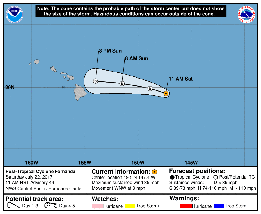
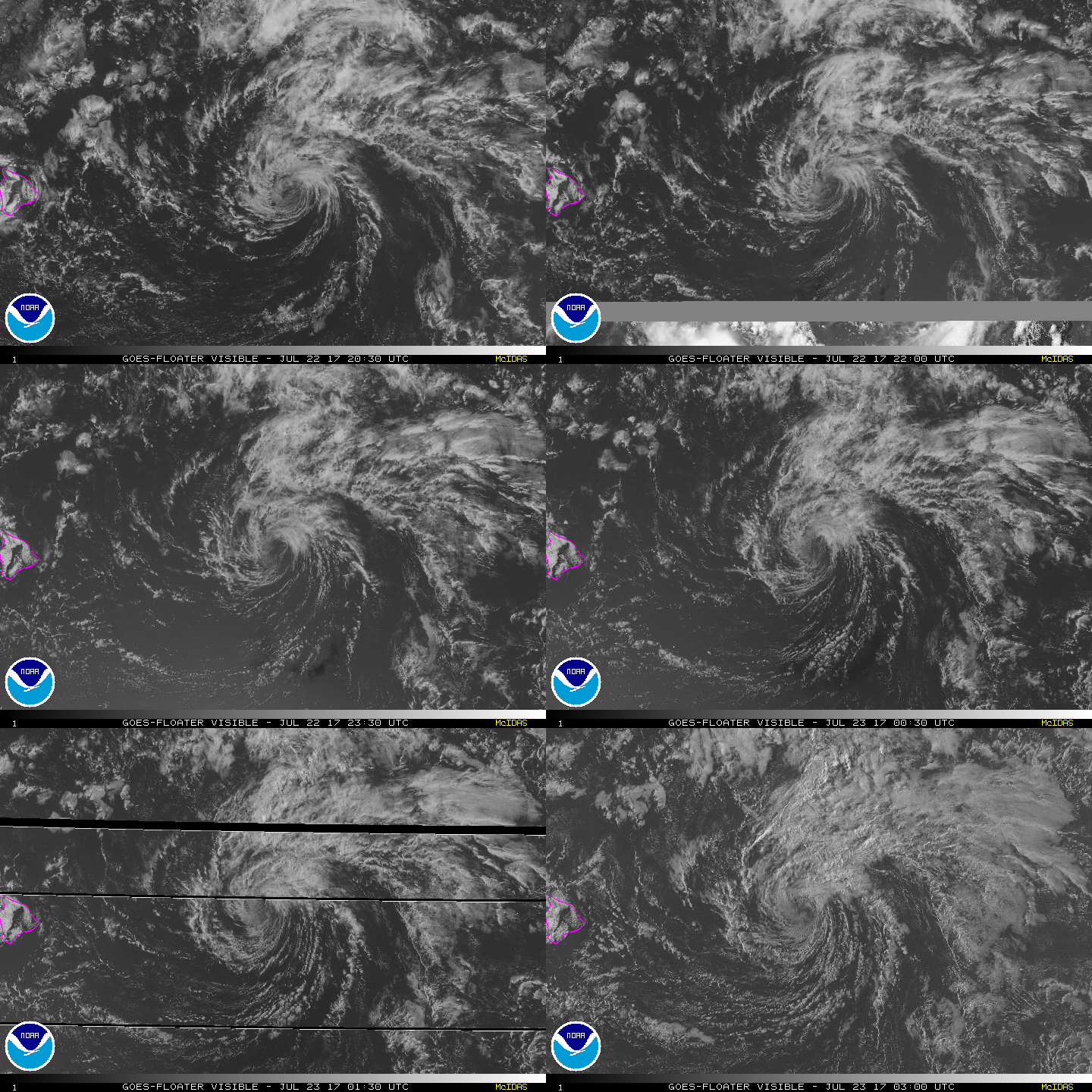
隨著第44報(最終報07/22 21Z)的發出,Fernanda正式結束長達10天半的熱帶氣旋生命史。
WTPA41 PHFO 222043
TCDCP1
Post-Tropical Cyclone Fernanda Discussion Number 44
NWS Central Pacific Hurricane Center Honolulu HI EP062017
1100 AM HST Sat Jul 22 2017
Due to strong southwesterly vertical wind shear, only limited and
sporadic convection has been noted in the northern semicircle of
the poorly-defined low-level circulation center of Fernanda over
the past several hours. This convection has not been sufficiently
persistent for the system to continue to be deemed a tropical
cyclone, and Fernanda is now post-tropical. The initial intensity is
estimated to be 30 kt, based heavily on last night's ASCAT pass,
with these winds likely confined to the northern semicircle.
The initial motion estimate for this advisory is 285/8 kt. The
increasingly shallow low is expected to continue on a west-northwest
to west track within the low- to mid-level trade wind flow supported
by a ridge well to the north, with some increase in forward speed.
Although the forecast track takes the system over warmer waters,
the strong vertical wind shear will persist, due to a longwave
trough aloft to the northwest. Fernanda is expected to dissipate
to a trough after 36 hours, with this solution supported by
virtually all of the dynamical and statistical guidance.
This will be the final advisory issued by the Central Pacific
Hurricane Center on Fernanda. For additional information on the
remnant low, see High Seas Forecasts issued by the National Weather
Service under AWIPS header HFOHSFNP and WMO header FZPN40 PHFO.
FORECAST POSITIONS AND MAX WINDS
INIT 22/2100Z 19.5N 147.4W 30 KT 35 MPH...POST-TROP/REMNT LOW
12H 23/0600Z 19.9N 148.9W 25 KT 30 MPH...POST-TROP/REMNT LOW
24H 23/1800Z 20.3N 151.5W 25 KT 30 MPH...POST-TROP/REMNT LOW
36H 24/0600Z 20.5N 154.0W 20 KT 25 MPH...POST-TROP/REMNT LOW
48H 24/1800Z...DISSIPATED
$$
Forecaster Birchard


|
|