簽到天數: 4163 天 [LV.Master]伴壇終老
|
基本資料
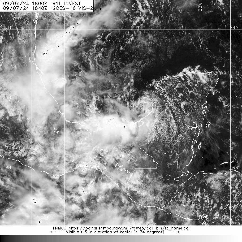
編號 :91 L
擾動編號日期:2024 年 09 月 07 日 20 時
撤編日期 :2024 年 09 月 00 日 00 時
AL, 91, 2024090712, , BEST, 0, 188N, 927W, 20, 1005, DB


ropical Weather Outlook Text EspañolTropical Weather Discussion
ZCZC MIATWOAT ALL
TTAA00 KNHC DDHHMM
Tropical Weather Outlook
NWS National Hurricane Center Miami FL
200 PM EDT Sat Sep 7 2024
For the North Atlantic...Caribbean Sea and the Gulf of Mexico:
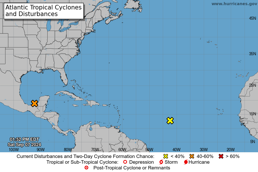
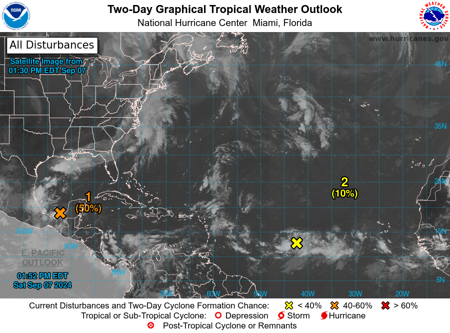
1. Western Gulf of Mexico (AL91):
An area of low pressure has formed over the Bay of Campeche and is
producing disorganized showers and thunderstorms. The system is
forecast to drift slowly northward for a couple of days while it
interacts with a frontal boundary. Environmental conditions are
forecast to be conducive for development, and a tropical depression
is likely to form during the early or middle part of next week while
the system moves generally northward near or along the Mexican and
Texas Gulf coastline. Interests along the western Gulf of Mexico
coast should closely monitor the progress of this system.
* Formation chance through 48 hours...medium...50 percent.
* Formation chance through 7 days...high...70 percent.
|
|