簽到天數: 4100 天 [LV.Master]伴壇終老
|
基本資料
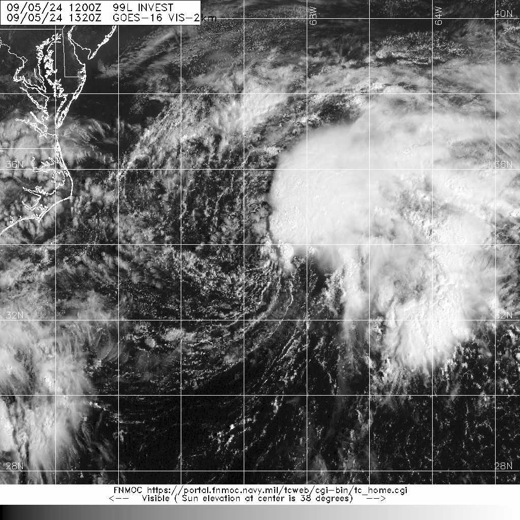
編號 :99 L
擾動編號日期:2024 年 09 月 05 日 20 時
撤編日期 :2024 年 09 月 00 日 00 時
AL, 99, 2024090512, , BEST, 0, 336N, 695W, 30, 1014, LO, 34, NEQ


ZCZC MIATWOAT ALL
TTAA00 KNHC DDHHMM
Tropical Weather Outlook
NWS National Hurricane Center Miami FL
800 AM EDT Thu Sep 5 2024
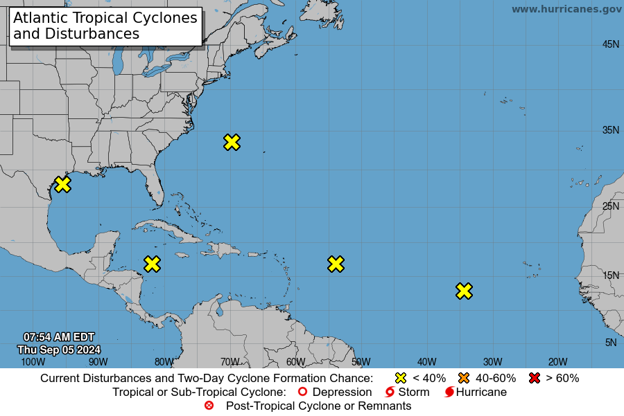
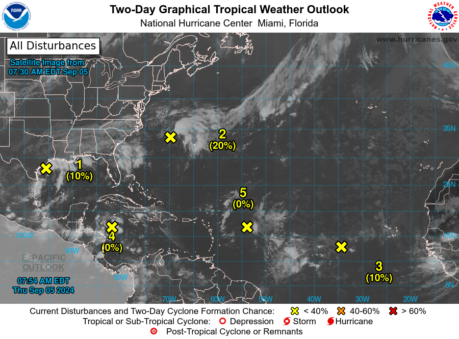
For the North Atlantic...Caribbean Sea and the Gulf of Mexico:
2. Northwestern Atlantic:
A non-tropical area of low pressure located a few hundred miles east
of North Carolina is producing disorganized showers and
thunderstorms to the northeast and east of its center. This system
could acquire some subtropical characteristics over the next couple
of days while it moves generally north-northeastward, remaining
offshore of the northeastern United States. Once the low moves
over cooler waters by late Saturday, further subtropical development
is not expected. Additional information on this system, including
gale warnings, can be found in High Seas Forecasts issued by the
National Weather Service.
* Formation chance through 48 hours...low...20 percent.
* Formation chance through 7 days...low...20 percent.
|
|