簽到天數: 4100 天 [LV.Master]伴壇終老
|
基本資料
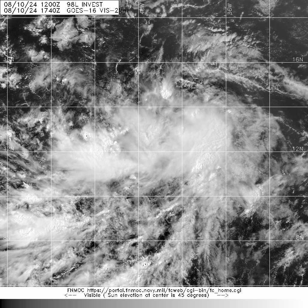
編號 :98 L
擾動編號日期:2024 年 08 月 10 日 08 時
撤編日期 :2024 年 08 月 00 日 00 時
AL, 98, 2024081000, , BEST, 0, 115N, 365W, 20, 1009, DB, 34, NEQ


ZCZC MIATWOAT ALL
TTAA00 KNHC DDHHMM
Tropical Weather Outlook
NWS National Hurricane Center Miami FL
200 PM EDT Sat Aug 10 2024
For the North Atlantic...Caribbean Sea and the Gulf of Mexico:
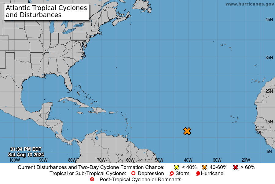
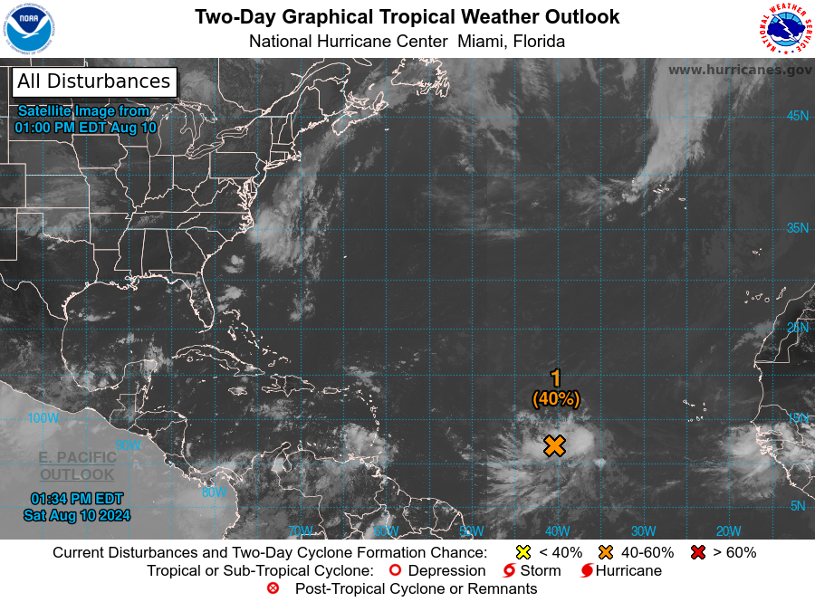
1. Near the Lesser and Greater Antilles (AL98):
Shower and thunderstorm activity continues to increase in
association with a tropical wave located roughly midway between the
Cabo Verde Islands and the Lesser Antilles. Environmental conditions
appear conducive for gradual development of this system during the
next several days while it moves westward to west-northwestward at
15 to 20 mph across the central tropical Atlantic. A tropical
depression is likely to form by the early to middle part of next
week while the system approaches and then moves near or over the
Lesser Antilles, and interests there should monitor the progress of
this system. Then, the system is forecast to move generally
west-northwestward and could approach portions of the Greater
Antilles by the middle to latter part of next week.
* Formation chance through 48 hours...medium...40 percent.
* Formation chance through 7 days...high...80 percent.
Forecaster Reinhart
|
|