簽到天數: 4163 天 [LV.Master]伴壇終老
|
基本資料
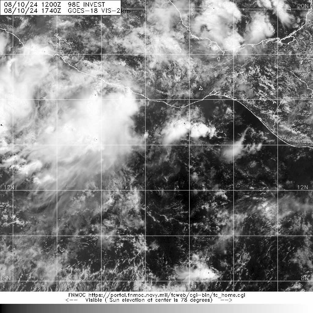
編號 :98 E
擾動編號日期:2024 年 08 月 10 日 20 時
撤編日期 :2024 年 08 月 00 日 00 時
EP, 98, 2024081012, , BEST, 0, 135N, 975W, 25, 1008, DB, 34, NEQ


ZCZC MIATWOEP ALL
TTAA00 KNHC DDHHMM
Tropical Weather Outlook
NWS National Hurricane Center Miami FL
1100 AM PDT Sat Aug 10 2024
For the eastern North Pacific...east of 140 degrees west longitude:
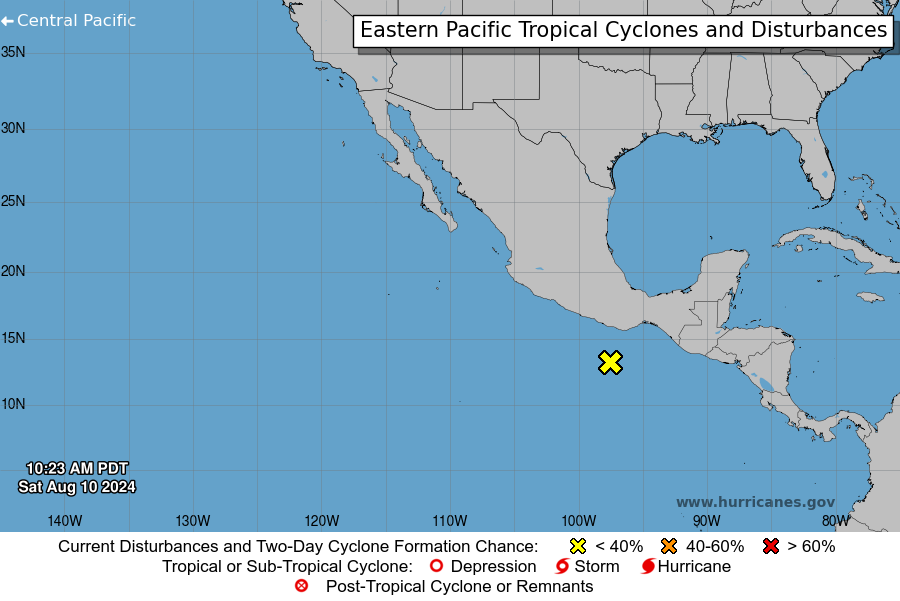
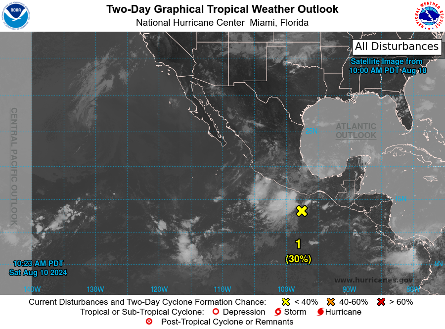
1. South of Southern Mexico (EP98):
Showers and thunderstorms remain disorganized in association with a
broad area of low pressure located about 150 miles off the coast of
southern Mexico. Some development of this system is possible during
the next couple of days while it moves west-northwestward at around
15 mph, parallel to the coast of southwestern Mexico. By early next
week, the system is forecast to move into a more stable environment,
limiting additional development. Regardless of formation, this
system could bring areas of heavy rain to portions of coastal
southern and southwestern Mexico during the next day or two.
* Formation chance through 48 hours...low...30 percent.
* Formation chance through 7 days...low...30 percent.
Forecaster Cangialosi
|
|