簽到天數: 4100 天 [LV.Master]伴壇終老
|
基本資料
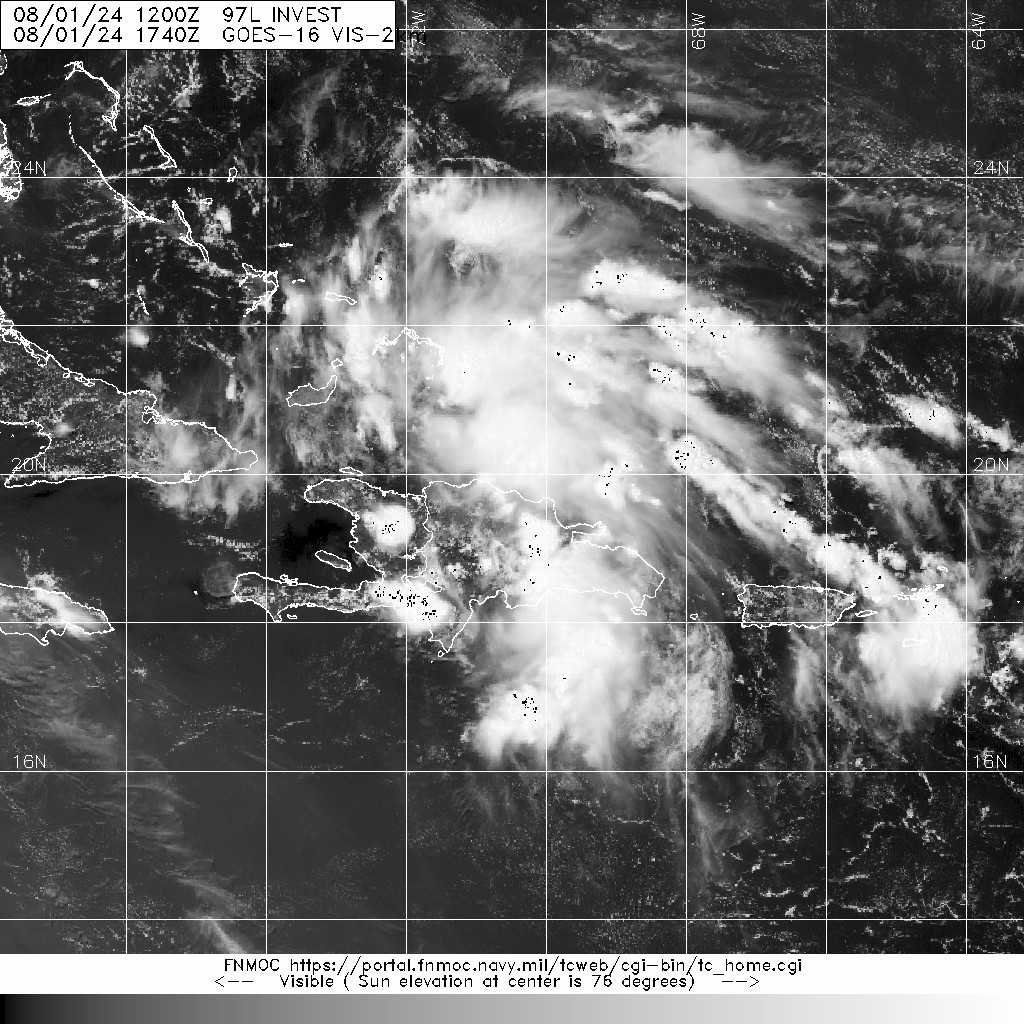
編號 :97 L
擾動編號日期:2024 年 08 月 01 日 20 時
撤編日期 :2024 年 08 月 00 日 00 時
AL, 97, 2024080112, , BEST, 0, 195N, 705W, 20, 1013, DB


Tropical Weather Outlook Text EspañolTropical Weather Discussion
ZCZC MIATWOAT ALL
TTAA00 KNHC DDHHMM
Tropical Weather Outlook
NWS National Hurricane Center Miami FL
200 PM EDT Thu Aug 1 2024
For the North Atlantic...Caribbean Sea and the Gulf of Mexico:
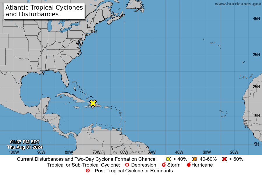
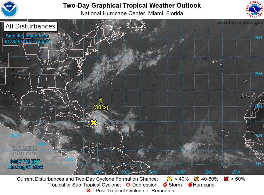
1. Southwestern Atlantic and Eastern Gulf of Mexico (AL97):
A well-defined tropical wave is producing a large area of
disorganized showers and thunderstorms over Hispaniola, Puerto Rico,
the Southeastern Bahamas, and the adjacent waters of the
southwestern Atlantic and northeastern Caribbean Sea. Development of
this system should be slow to occur during the next day or so while
it moves west-northwestward over portions of the Greater Antilles.
However, environmental conditions are forecast to be more conducive
for development after the wave passes the Greater Antilles, and a
tropical depression is likely to form this weekend or early next
week over the eastern Gulf of Mexico near the Florida Peninsula.
Interests across the Greater Antilles, the Bahamas, and Florida
should continue to monitor the progress of this system.
* Formation chance through 48 hours...low...30 percent.
* Formation chance through 7 days...high...70 percent.
Forecaster Beven
|
|