簽到天數: 4163 天 [LV.Master]伴壇終老
|
基本資料
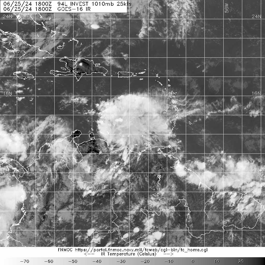
編號 :94L
擾動編號日期:2024 年 06 月 26 日 02 時
撤編日期 :2024 年 06 月 00 日 00 時
94L INVEST 240625 1800 12.2N 65.7W ATL 25 1010


Tropical Weather Outlook Text EspañolTropical Weather Discussion
ZCZC MIATWOAT ALL
TTAA00 KNHC DDHHMM
Tropical Weather Outlook
NWS National Hurricane Center Miami FL
200 PM EDT Tue Jun 25 2024
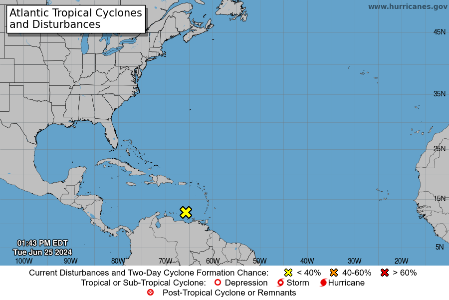
For the North Atlantic...Caribbean Sea and the Gulf of Mexico:
1. Western Caribbean/Southwestern Gulf of Mexico:
A tropical wave located over the southeastern Caribbean Sea is
producing disorganized showers and thunderstorms as it moves
quickly westward at around 25 mph. Environmental conditions
could support some gradual development once the wave reaches the
western Caribbean Sea late this week, and some development is also
possible over the southwestern Gulf of Mexico during the weekend.
* Formation chance through 48 hours...low...10 percent.
* Formation chance through 7 days...low...20 percent.
Forecaster Hagen/Pasch
|
評分
-
查看全部評分
|