簽到天數: 3291 天 [LV.Master]伴壇終老
|
 t02436|2019-7-13 11:49
|
顯示全部樓層
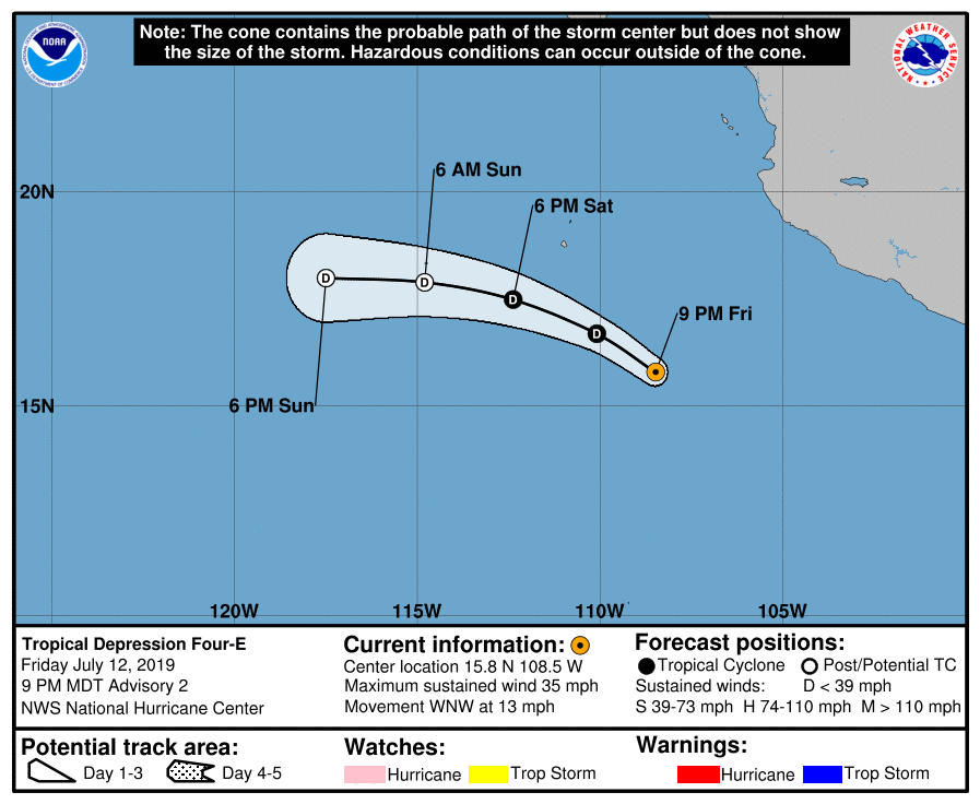
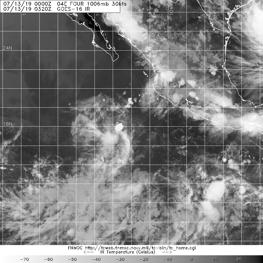
21Z升格04E,03Z報已不看好達到TS強度。
000
WTPZ44 KNHC 130234
TCDEP4
Tropical Depression Four-E Discussion Number 2
NWS National Hurricane Center Miami FL EP042019
900 PM MDT Fri Jul 12 2019
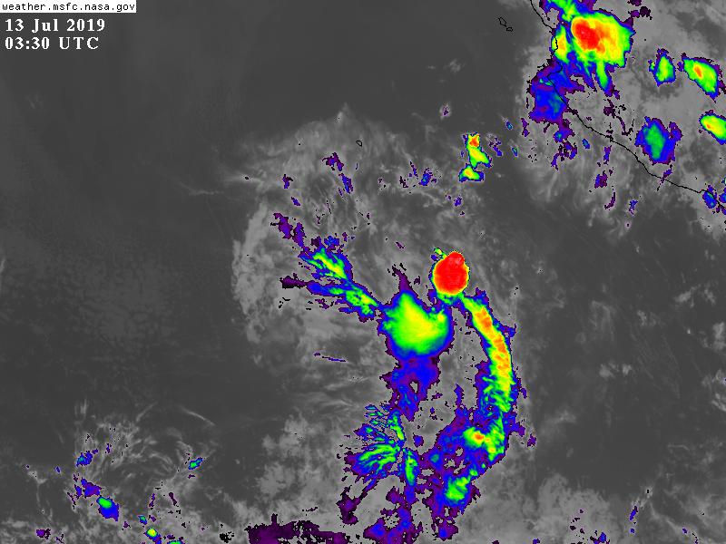
The depression looks less organized than a few hours ago, with the
apparent low-level center displaced a fair distance from the
mid-level circulation to the southwest. In addition, deep
convection has decreased markedly during that time, although a new
burst is forming in the southwestern quadrant. The initial wind
speed is kept 30 kt in agreement with the latest Dvorak estimates.
The cyclone probably only has the convective maximum period
overnight to become a tropical storm before a combination of strong
shear, cooling SSTs, and upper-level convergence start a steady
weakening. In fact, the depression is forecast by all of the
dynamical guidance to lose deep convection near or just after 24
hours. Thus, the NHC intensity forecast is lowered 5 kt from the
previous one, similar to the consensus, and the remnant low timing
is pushed up to 36h as well.
An uncertain motion is 300/11 kt. A low- to mid-level ridge to the
north of the cyclone should gradually turn the depression westward
during the next couple of days with a slight increase in forward
speed. Models have come into better agreement on the track of the
depression, not too far from the previous NHC track prediction, so
the new forecast is basically the same as the previous one.
FORECAST POSITIONS AND MAX WINDS
INIT 13/0300Z 15.8N 108.5W 30 KT 35 MPH
12H 13/1200Z 16.7N 110.1W 30 KT 35 MPH
24H 14/0000Z 17.5N 112.4W 25 KT 30 MPH
36H 14/1200Z 17.9N 114.8W 25 KT 30 MPH...POST-TROP/REMNT LOW
48H 15/0000Z 18.0N 117.5W 20 KT 25 MPH...POST-TROP/REMNT LOW
72H 16/0000Z...DISSIPATED
$$
Forecaster Blake


|
|