簽到天數: 4605 天 [LV.Master]伴壇終老
|
基本資料
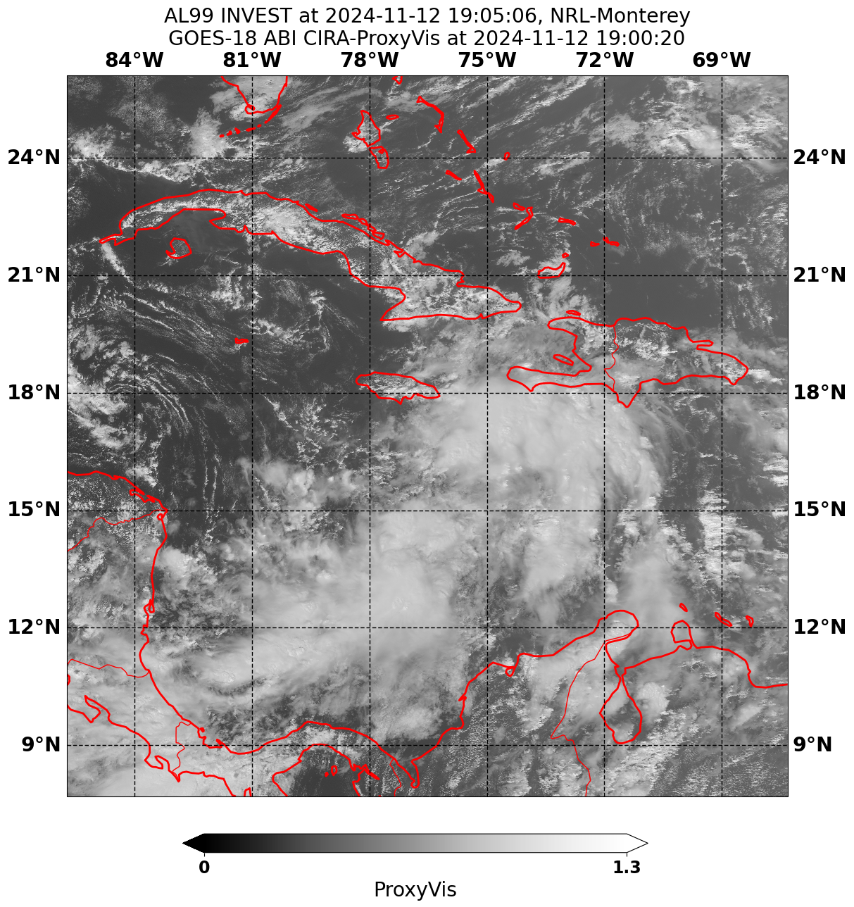
編號 :99 L
擾動編號日期:2024 年 11 月 13 日 02 時
撤編日期 :2024 年 11 月 00 日 00 時
AL, 99, 2024111218, , BEST, 0, 169N, 765W, 20, 1007, DB, 34, NEQ


Tropical Weather Outlook Text Tropical Weather Discussion
ZCZC MIATWOAT ALL
TTAA00 KNHC DDHHMM
Tropical Weather Outlook
NWS National Hurricane Center Miami FL
100 PM EST Tue Nov 12 2024
For the North Atlantic...Caribbean Sea and the Gulf of Mexico:
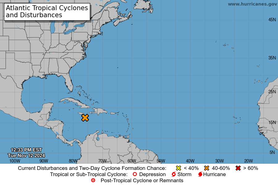
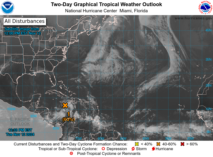
1. Central and Western Caribbean Sea:
Disorganized showers and thunderstorms over the central Caribbean
Sea are associated with a broad area of low pressure.
Environmental conditions appear conducive for development, and a
tropical depression is likely to form within the next two to three
days while the system moves slowly westward into the western
Caribbean Sea. Afterward, further development is likely while the
disturbance meanders over the western Caribbean Sea through the
weekend. The system is forecast begin moving slowly northwestward
by early next week. Interests across the western and northwestern
Caribbean Sea should monitor the progress of this system.
* Formation chance through 48 hours...medium...60 percent.
* Formation chance through 7 days...high...90 percent.
Forecaster Brown
|
|