簽到天數: 4606 天 [LV.Master]伴壇終老
|
本帖最後由 alu 於 2024-8-20 22:21 編輯
基本資料
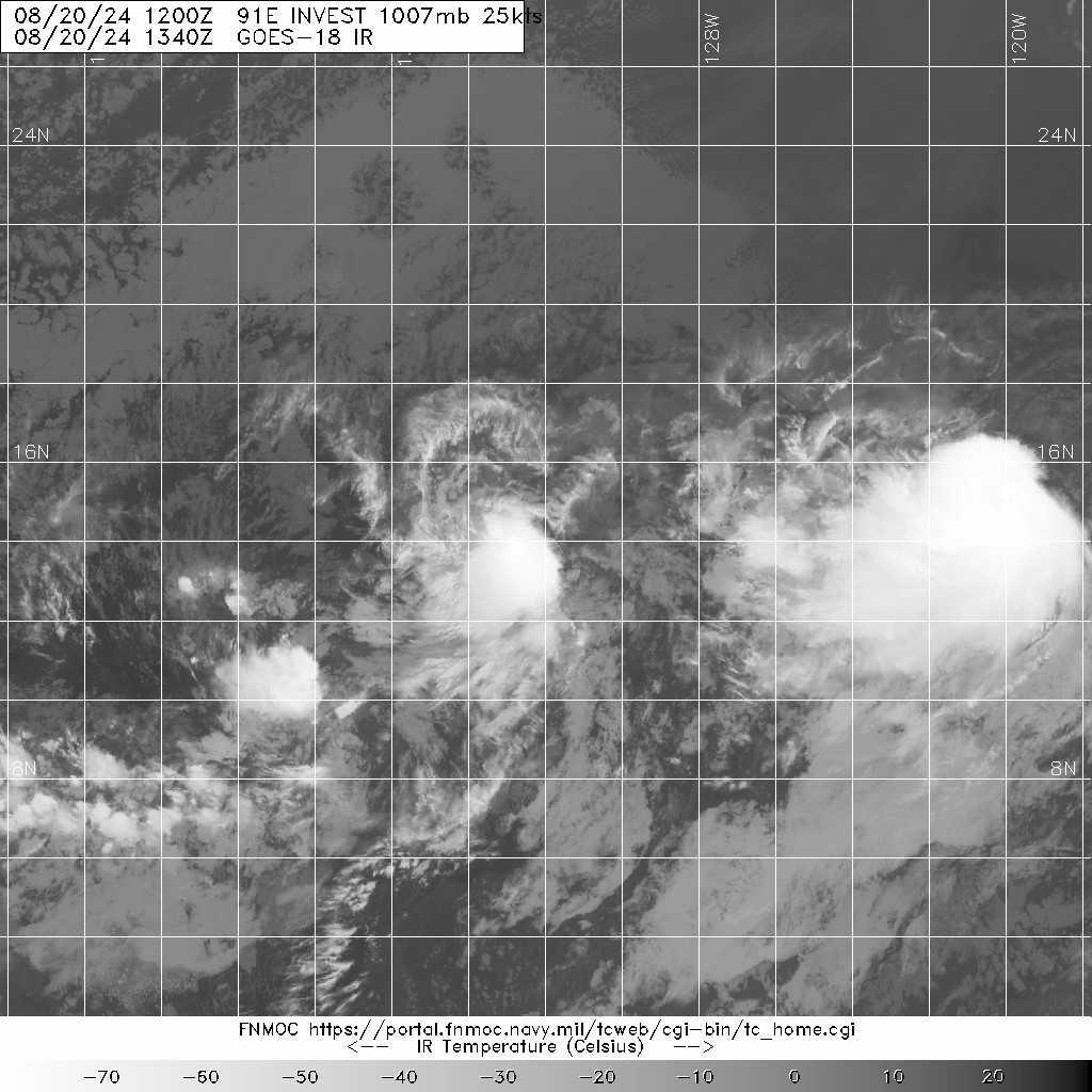
編號 :91 E
擾動編號日期:2024 年 08 月 20 日 14 時
撤編日期 :2024 年 08 月 00 日 00 時
EP, 91, 2024082006, , BEST, 0, 137N, 1317W, 25, 1008, DB, 34, NEQ,


ZCZC MIATWOEP ALL
TTAA00 KNHC DDHHMM
Tropical Weather Outlook
NWS National Hurricane Center Miami FL
500 AM PDT Tue Aug 20 2024
For the eastern North Pacific...east of 140 degrees west longitude:
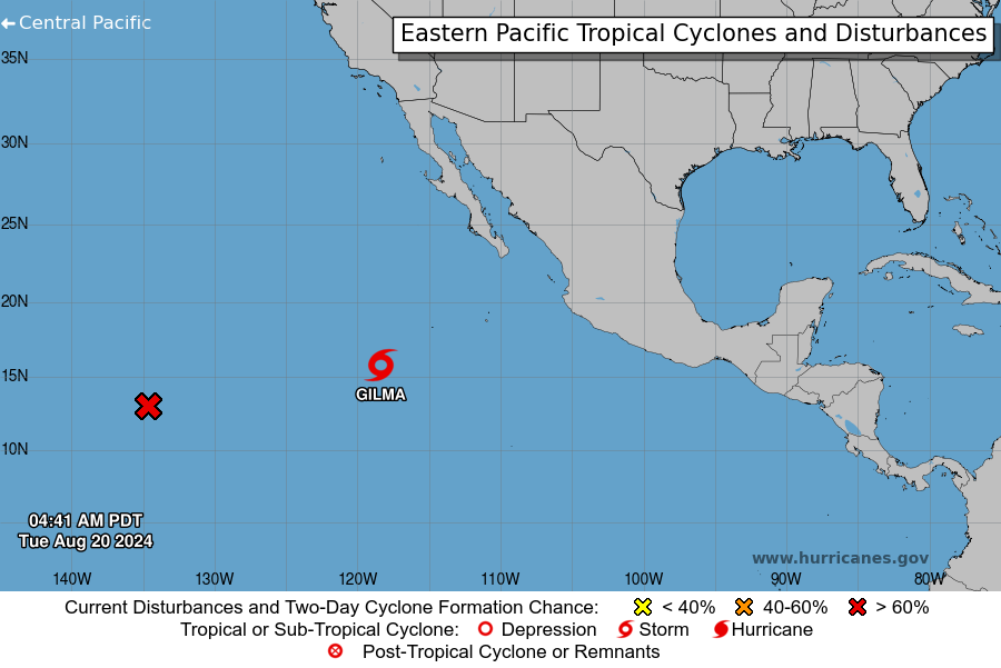
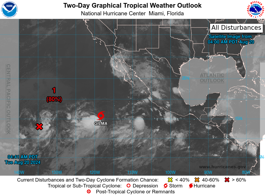
The National Hurricane Center is issuing advisories on Tropical
Storm Gilma, located several hundred miles southwest of the southern
tip of the Baja California peninsula.
1. Well East-southeast of the Hawaiian Islands (EP90/EP91):
A large area of disorganized showers and thunderstorms is
associated with two disturbances over the western portion of the
East Pacific basin. These systems are expected to merge later today
or tonight, and gradual development is expected after they merge.
A tropical depression is likely to form within the next couple of
days while the disturbance moves west-northwestward into the
Central Pacific basin Wednesday night or early Thursday.
Information on this system's development can also be found in the
Tropical Weather Outlook for the Central Pacific basin.
* Formation chance through 48 hours...high...80 percent.
* Formation chance through 7 days...high...80 percent.
2. Eastern and Central Portion of the East Pacific:
An area of low pressure is expected to form well to the south of the
southwestern coast of Mexico in a couple of days. Environmental
conditions should support slow development thereafter, and a
tropical depression could form late this week or over the weekend
while the system moves west-northwestward over open waters, well
offshore of Mexico.
* Formation chance through 48 hours...low...near 0 percent.
* Formation chance through 7 days...medium...40 percent.
The Tropical Weather Outlook for the Central Pacific basin can be
found under AWIPS header HFOTWOCP and WMO header ACPN50 PHFO and on
the web at hurricanes.gov
Forecaster Cangialosi
|
|